
New data shows Gaza destruction worse than feared
JVL Introduction
The director of the Hebrew University Geographic Information System Center, Adi Ben-Nun, told Ha’aretz that the actual damage may be even worse than the data shows, as satellite imagery is not 100 percent effective unless a building’s roof has collapsed.
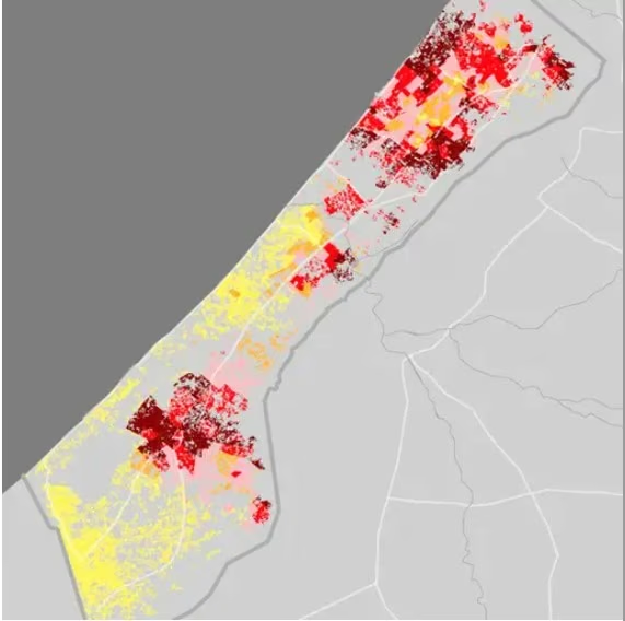
To view graphic representations of the data, showing changes between April 2024, December 2024 and most recently in April 2025, click the original story. They illustrate the percentage of uninhabitable buildings in Jabalya (84 percent), in Rafah (89 percent), in Khan Younis (63 percent), and in the whole Gaza Strip (70 percent).
And still the world watches…
NWI
This article was originally published by Ha'aretz on Thu 17 Jul 2025. Read the original here.
New Satellite Data Shows: Gaza Devastation Scale Greater Than Estimated, at Least 70 Percent of Buildings Leveled
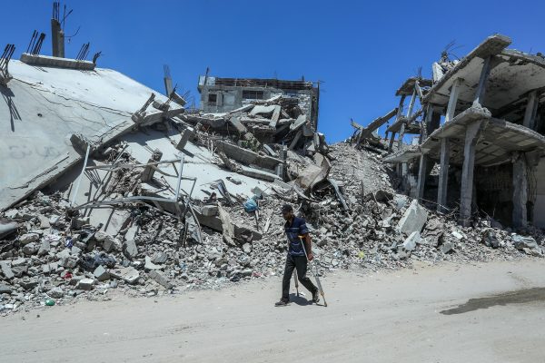
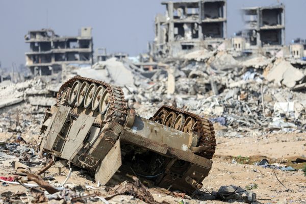
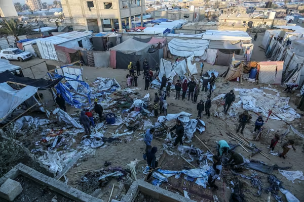
According to a Hebrew University mapping, 89% of the buildings in Rafah, 84% of the buildings in the northern Gaza Strip and 78% of the buildings in Gaza City have been completely or partially destroyed. The data shows that since April, an average of 2,000 buildings have been destroyed in Rafah each month
Loading article text…









Comments are now closed.