
From the river to the sea – where is the green line?
JVL Introduction
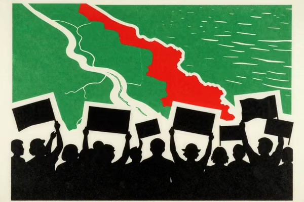
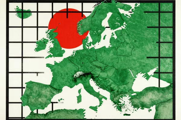
The Palestine solidarity movement is routinely accused of antisemitism because its maps show a single country stretching from the river to the sea.
By the same token Israel must be culpable because its maps show precisely the same terrain!
Indeed, they even add on a little by including the occupied Golan Heights as part of Israel.
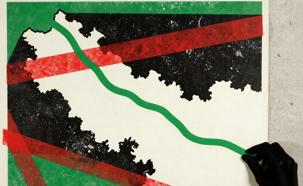
So the issue highlighted in the Haaretz article below is not new: the green line, the only recognised international border between Israel and the rest of the world, is not portrayed on Israeli maps.
Indeed, the decision not to print it dates back to an instruction from Yigal Allon on 30 October 1967, to the government’s Survey Department not to print the pre-war boundaries.
So the Tel Aviv-Jaffa municipality’s decision to issue maps to all it schools showing the Green Line is a substantial challenge to the decades long conventional denialism that such a thing could exist – pre-war boundaries indeed!
A few days later Haaretz published an editorial statement, including these words: “We must not accept the cowardly response of the Education Ministry. Other municipalities must adopt Tel Aviv’s initiative and hang the map in schools in their cities in order to promote an open discussion about Israel, the country’s borders and the Israeli-Palestinian conflict, including the millions of Palestinians lacking rights living over the Green Line.’
It will be interesting to watch its clash with the Education Ministry unfold.
This article was originally published by Haaretz on Tue 23 Aug 2022. Read the original here.
Tel Aviv and the Israeli Government Spar Over School Maps Showing 1967 Borders
Loading article text…









Comments are now closed.