
A picture is worth a thousand words…
Published
by
Richard Kuper
JVL Introduction
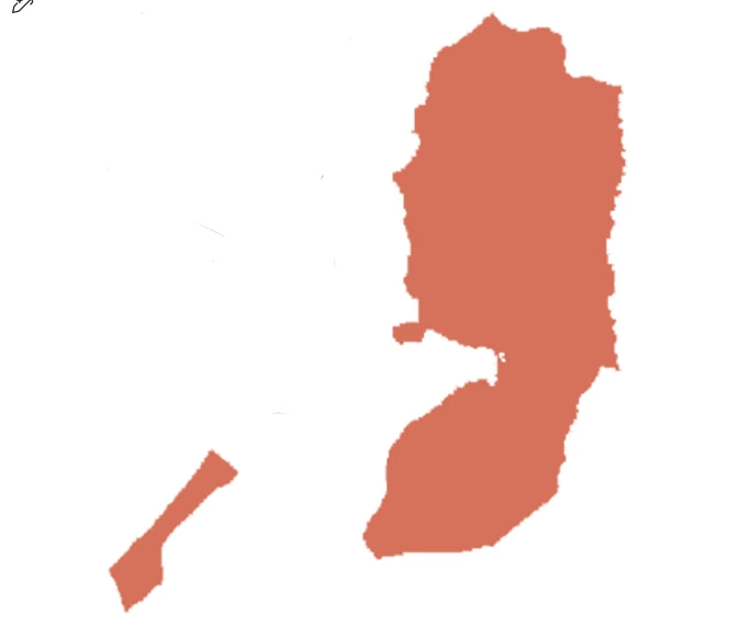
The outline map above shows the state of Palestine in its internationally recognised borders.
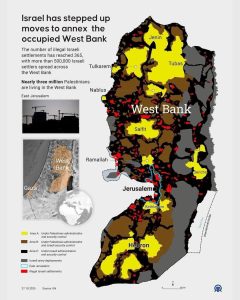
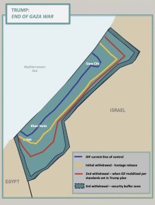
The West Bank reality is portrayed in this map below, recently posted on Facebook by Jewish Voice for Peace. The Gaza reality is depicted in a futher map.
JVP’s brief comment on the West Bank map sums it up:
“The red areas are illegal Israeli settlements. The gray areas are controlled by the Israeli military. Apartheid roads, walls, and checkpoints separate the yellow Palestinian areas to prevent the formation of a contiguous Palestinian state, forming an illegal occupation similar to the bantustans of apartheid South Africa, only worse.”
RK
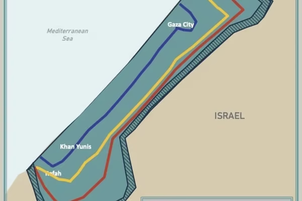
And Gaza, under the current dispensation:

Comments are now closed.